The Long Scenic Way to Agonda.
Why take the boring busy Highway (NH66) to Agonda, especially if you are on a holiday? Come with me, Let me show you how to cut the drab out of the trip and make it a fun scenic trail.
Download the Long Scenic Way to Agonda Trail
The Trail was created using BluRydr and is best viewed inside the app.
Step 1. Download the BluRydr App,
Step 2. Click the link below on your phone and it will launch the app directly.
Open using Phone Browser
View the Trail –> The Long Scenic Way to Agonda <
Trail overview
Most holidaying folks, who drive or ride to their hols, use google to get from one place to another. There are just so many places that people recommend one visits, especially in Goa (where everything is so spread out). So it makes sense to “google it” and find the route.
Google can be trusted in finding you the fastest and shortest route to your destination. Highly useful if you are rushing to the airport at the end of the break. But, what if you are actually looking for the long way, the scenic way?
Right, so what happens if you do want to take the scenic route, and where are these scenic places? You’re in luck! Here’s one of those trails. A fun way to get to Agonda, which if left to Google, would totally send you straight down the boring highway.
I found this trail by accident, trying to find a way to break out of the highway and realised it actually offered an interesting way to get to the south.
I recommend we start the trail from Panjim, at the Indian Oil petrol station opposite Patto. Being a large station with enough space to pull over and wait, It’s a good place to rendezvous.
Hitting the Road
The road leaves the highway at the next junction, where we head into Merces and climb up towards the army camp. The view from up the ghats down to the salt plains is worth stopping to take pics.
The road rejoins the highway briefly to cross river Zuari and just after that we head out into the tiny roads that cut across the terrain. The road goes through little ponds and fields and we explore the area that sits between the Sancoale and the lower marshy swamplands.
A quick crossover at the airport road that takes us over to the road to Majorda. By now you should have set into the easy riding pace of the countryside and would have successfully crossed a significant portion of the chaos. From here on, the road runs along the coast and we are good to stop anywhere along this stretch to catch a glimpse of the Arabian Sea.
Plan to head out early and you are sure to catch some brilliant moments.
Trail Tip
Places covered on the 90km Trail are –
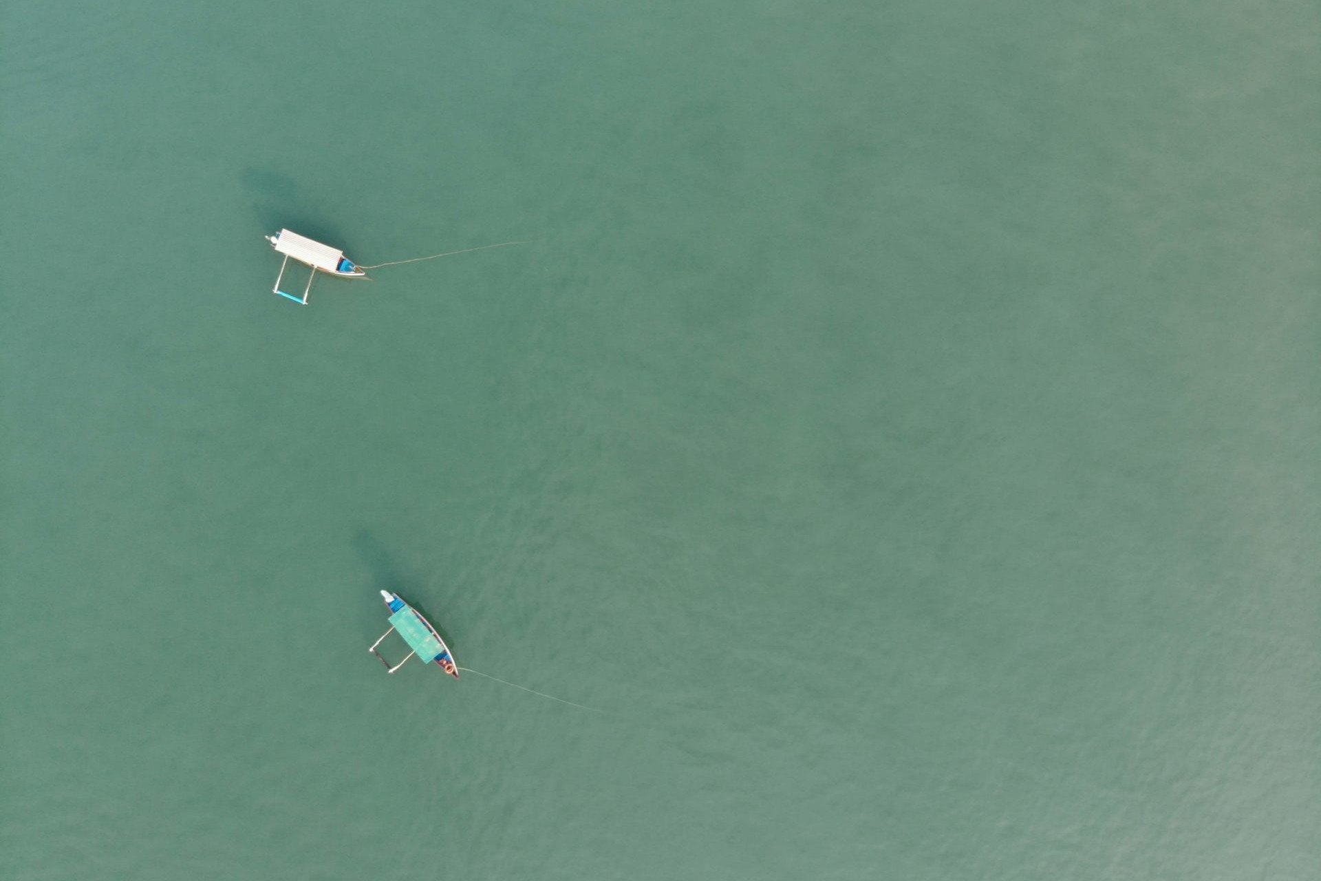
Velsao Beach – A quiet little beach where you won’t find too many tourists.
Railway Crossing at Cansaulim – A great place to take some pictures.
Cavelossim Bridge – A view of the river below, spend some time here and take in the calm
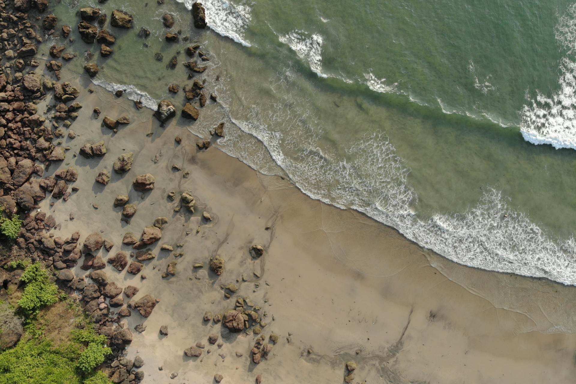
Betul Fort – A scenic cove where local fishermen gather every evening.
Cashew Plantation (Naquerim Road) – You will really enjoy this stretch.
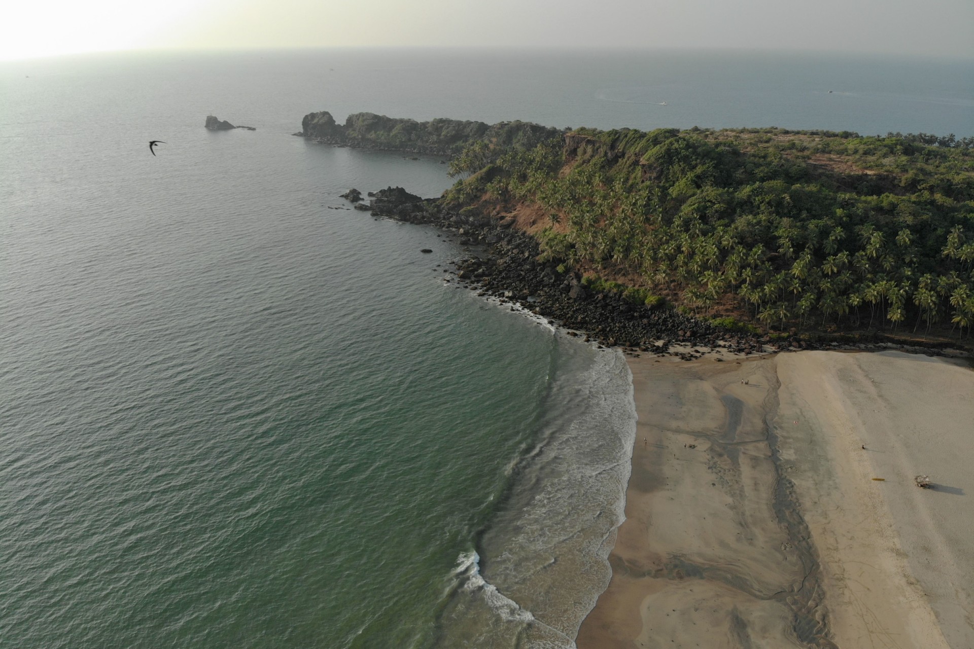
Cabo de Ram Beach – A spectacular beach that’s accessed from the cliffside above.
Cabo de Ram Fort – Don’t miss the view from this fort.
Kakolem & Cola Beach – A tiny little beaches along the steep shoreline.
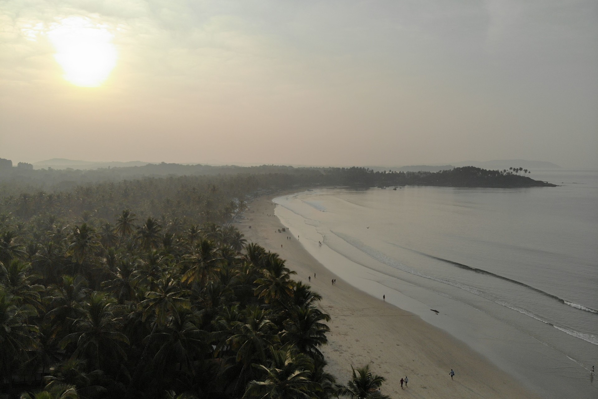
Agonda Beach – Final destination, Stay here the night and wake up to an awesome beach breakfast.
Related Posts